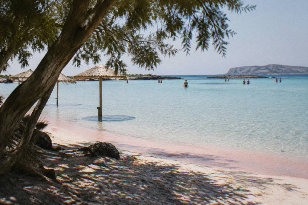
Paleochora Crete: The South Coast Day Trip From Chania, Explained
Paleochora sits on Crete's south coast, facing the Libyan Sea, and it is reached from Chania by bus across the island or by boat along the coast. This guide sets out what the published sources actually say about getting there, the climate, and what the town offers a day visitor.
Short answer
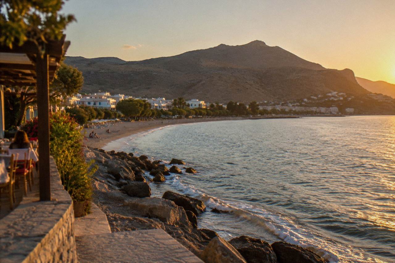
Paleochora is a south-coast town reached from Chania by KTEL bus from the Kydonias street station, with a journey across the White Mountains foothills. The town has beaches on either side of a peninsula, and boats to Gavdos leave from here in season. No timetable for those boats is published in advance in the sources this guide uses, so the day needs checking locally.
Paleochora is a small resort town on the south-west coast of Crete, the island whose north-western port city of Chania, on the Aegean's Cretan Sea, serves as the base for every day trip on this site. The town faces the Libyan Sea, the same stretch of water that laps Elafonisi, Sougia and the villages of Sfakia, and it functions as the western south coast's local hub: buses from Chania terminate here, and the seasonal boats to the island of Gavdos leave from its harbour. This guide reports what published sources state about the journey, the climate and the town itself, because Paleochora is one of those places where third-hand guidebook detail has quietly outrun the official record.
The Chania long-distance bus station sits on Kydonias street in the city, and KTEL Chanion's published route list includes Paleochora among its destinations, alongside Heraklion, Rethymno, Kissamos, Omalos and, in summer, Elafonisi. The operator publishes its timetables and tickets at e-ktel.com, and this guide prints no fare and no departure time, because those figures move with the season and belong on the operator's own page. What can be said plainly is the geometry: the road from Chania to the south coast crosses the western foothills of the White Mountains, and Paleochora is one of the two main gateways to that coast, the other being Sougia to the east.
Where Is Paleochora And Why Does Chania Matter For Getting There?
Paleochora is a south-coast town on the Libyan Sea side of Crete, about as far from Chania as the island is wide at that point, and Chania is the transport base it depends on: every practical route there starts from the Chania area, either by KTEL bus from the Kydonias street station or by road across the White Mountains foothills. The town occupies a flat peninsula with water on both sides, and its harbour faces the open sea to the south-west. Crete itself runs west to east, and its north coast, where Chania sits on the Cretan Sea, carries the island's main roads, airports and ports, while the south coast is served by a thinner network of roads that descend from the mountains. That asymmetry shapes every south-coast day trip.
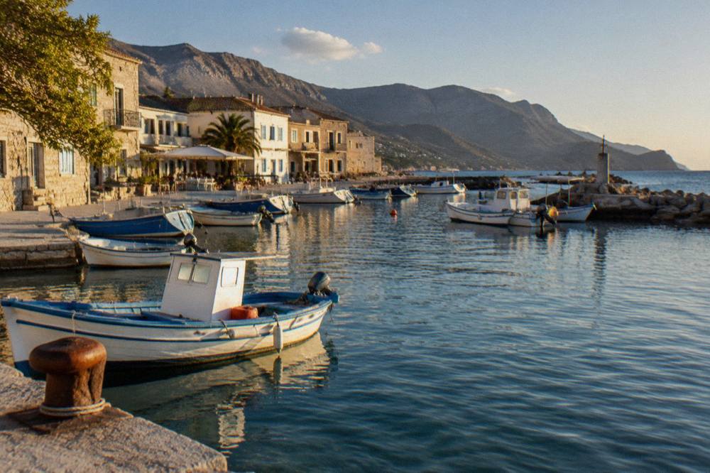
The Chania municipality, for scale, held 111,375 permanent residents at the 2021 census across 356.12 square kilometres, and Paleochora lies well outside that municipality, further west and south. It is a place in its own right, not a suburb, and the journey between the two is a genuine crossing of the island's western third. The ferry connection that matters to visitors is not the Piraeus service, which leaves from Souda port about 7 km east of Chania's Old Town, but the small seasonal boats along the south coast. Boats to Gavdos run from Paleochora and Sougia in season, and no timetable for them is published in the sources this guide carries, so the harbour front and local operators are where the sailing days get confirmed.
Worth pairing with this page: the wider things to do in and around Chania overview covers how the day trips from the city fit together, and the Elafonisi Beach guide covers the protected beach to the north-west, which some travellers combine with a south-coast loop. The two beaches are different propositions, and Elafonisi carries its own rules, as its Natura 2000 status prohibits taking sand, shells or plants.
How Do You Get From Chania To Paleochora Without A Car?
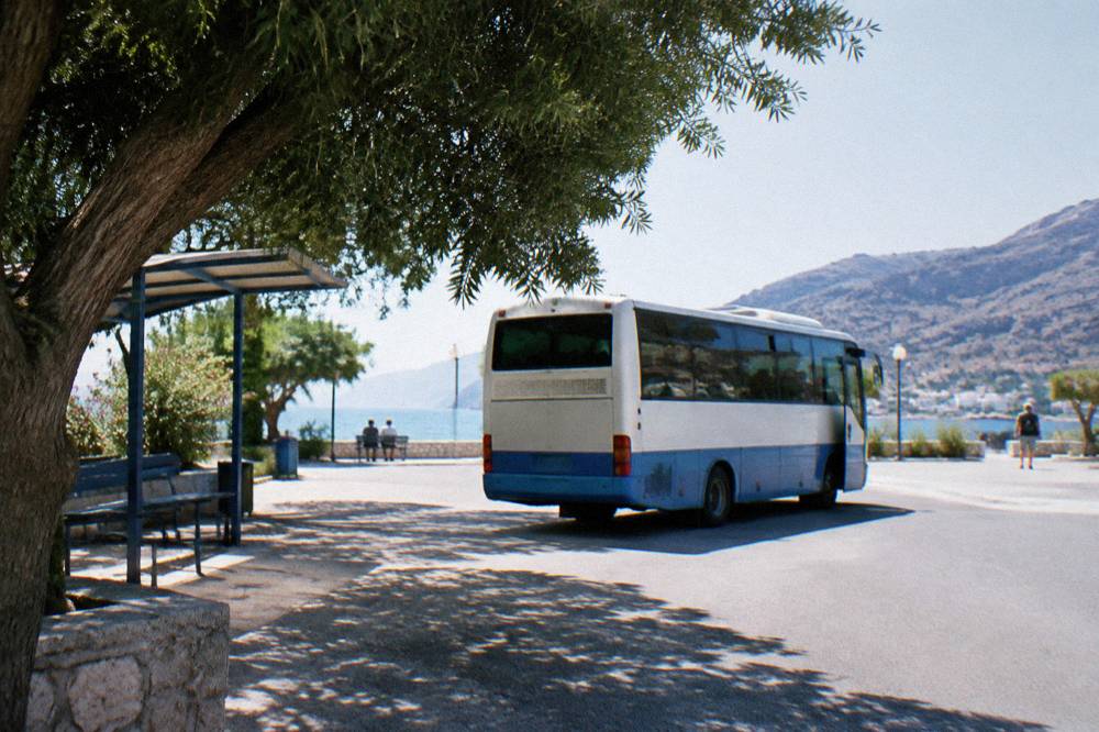
The published answer is the KTEL bus: the Chania long-distance station on Kydonias street lists Paleochora on its route network, tickets and timetables are sold through the operator's own site, and the airport alternative does not exist because there is no airfield at Paleochora and no railway anywhere on Crete. The bus is the backbone of south-coast travel for visitors without a hire car, exactly as it is for Omalos in gorge season and for Kissamos in the west. Fares are deliberately not printed here, and departure frequencies are not printed either, because the operator changes both by season and states them itself.
Two things about the starting point are worth fixing in the mind before travel day. First, the bus station is on Kydonias street, a short way inland from the Old Town, and it is a different place from the cruise and excursion boat departures around the Venetian Harbour. Second, Chania International Airport "Ioannis Daskalogiannis" (CHQ), operated by Fraport Greece, sits on the Akrotiri peninsula about 14 km from the city centre, and the airport's own site carries the public bus and taxi information for reaching the city, where the KTEL network begins. Anyone flying in and heading straight for the south coast changes modes in Chania.
For drivers, the same crossing exists by road, and the driving routes and car-hire basics for Chania page covers what the published sources say about hiring at the airport and in the city. This guide prints no car-hire rate, no toll and no parking tariff, because none is verified. What the road geography does allow is a clear statement: the western approach to the south coast runs past the turn-offs for Elafonisi and the plateau roads above, and Paleochora is the last sizeable town before the coast road turns east toward Sougia and the Sfakia villages.
Prefer to make the crossing behind your own wheel? Book a rental car here.
| Leg Of The Journey | What The Published Sources State |
|---|---|
| Chania city to Kydonias street bus station | The KTEL Chanion long-distance station is on Kydonias street |
| Chania to Paleochora | A listed KTEL route; timetables and tickets at the operator's own site |
| Airport (CHQ) to Chania centre | About 14 km; bus and taxi information on the airport's own site |
| Paleochora to Gavdos | Seasonal boats from Paleochora and Sougia; no published timetable |
| Souda port to Piraeus | Blue Star Ferries overnight, departing about 21:30, about 9 h 15 min |
If a day of mountain roads before a beach day sounds like the wrong order, the water-first alternative runs from Chania itself: the beginner scuba session listed on this site starts from the city with a PADI instructor and needs no prior experience, and its beginner diving page says what is covered. The sea off Chania is the Cretan Sea, a different shore from the Libyan Sea at Paleochora, but the same island water.
What Is The Weather Like On The South Coast Compared With Chania?
The only climate table this site carries is the HNMS Chania Souda station's monthly means for 1958 to 2010, and it describes the station inland of Souda Bay, not Paleochora, so every honest temperature figure here belongs to that station and that period; the south coast shares the dry summer and wet winter pattern, but no official Paleochora normal exists in the published record this guide uses. January is the wettest month in that table at 129.5 mm and July the driest at 1 mm, with a yearly total of 622.3 mm. July is the warmest month at a 26.7 C mean and January the coldest at 11.0 C.
| Month | Mean C (Chania Souda, 1958 To 2010) | Rain mm |
|---|---|---|
| Jan | 11.0 | 129.5 |
| Feb | 11.0 | 104.0 |
| Mar | 12.7 | 76.0 |
| Apr | 15.9 | 31.5 |
| May | 20.2 | 13.5 |
| Jun | 24.7 | 3.4 |
| Jul | 26.7 | 1.0 |
| Aug | 26.3 | 1.4 |
| Sep | 23.2 | 15.4 |
| Oct | 19.4 | 67.7 |
| Nov | 15.8 | 77.0 |
| Dec | 12.7 | 101.9 |
The pattern that matters for planning is the one the rainfall column shows plainly: May through September is dry, 13.5 mm in May falling to 1.0 mm in July, while rain starts to matter again from October, which carries 67.7 mm. Humidity in the same station table runs from 50 percent in July to 73 percent in January, and the prevailing wind is from the west, turning north-west in July and August. No sunshine-hours figure for Paleochora is stated here, and no monthly sea-temperature normal is printed at all, because none exists in the official record; a live sea reading is a different thing and belongs to the day, not to a guide.
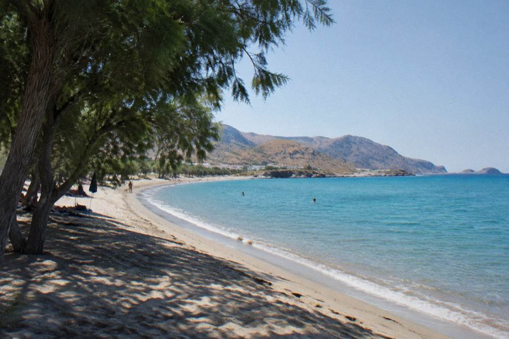
The south coast's reputation for heat is something a careful guide phrases as geography rather than forecast. The Libyan Sea shore sits behind the White Mountains from the prevailing weather and faces south, and the mountains change conditions on their two flanks. The only honest number this page can attach to air temperature anywhere near the region remains the HNMS Chania Souda table above, labelled with its station and its 1958 to 2010 period, and any other monthly figure a traveller meets elsewhere deserves the question: which station, and which years?
What Is There To Do In Paleochora Itself?
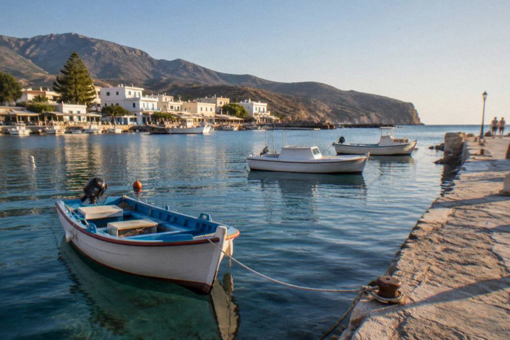
The town's offering is what its geography gives it: beaches on both sides of a low peninsula, a small harbour from which the seasonal Gavdos boats run, and a compact waterfront of tavernas and rooms, with the mountains immediately behind for walking country, and no verified attraction list beyond that, so this guide describes the setting the sources support rather than inventing sights. The harbour is the functional heart, the beaches are the reason the town has a tourism season at all, and the mountain roads inland connect it to villages and gorges that are covered elsewhere on this site in their own right.
The walking connection deserves its own line. Paleochora is the coastal endpoint for walking routes out of the Lefka Ori country, in the same way that Agia Roumeli, at the sea end of Samaria Gorge, and Sougia serve the coast to the east. Samaria's own status needs care: the gorge normally runs 1 May to 31 October, is closed or delayed when storms damage the path, and the NECCA status must be checked before any plan, with the individual ticket at EUR 10 through the NECCA e-ticket portal, free for EU residents under 18 and over 65. Gorge tickets and boat charges are separate from any guided tour price.
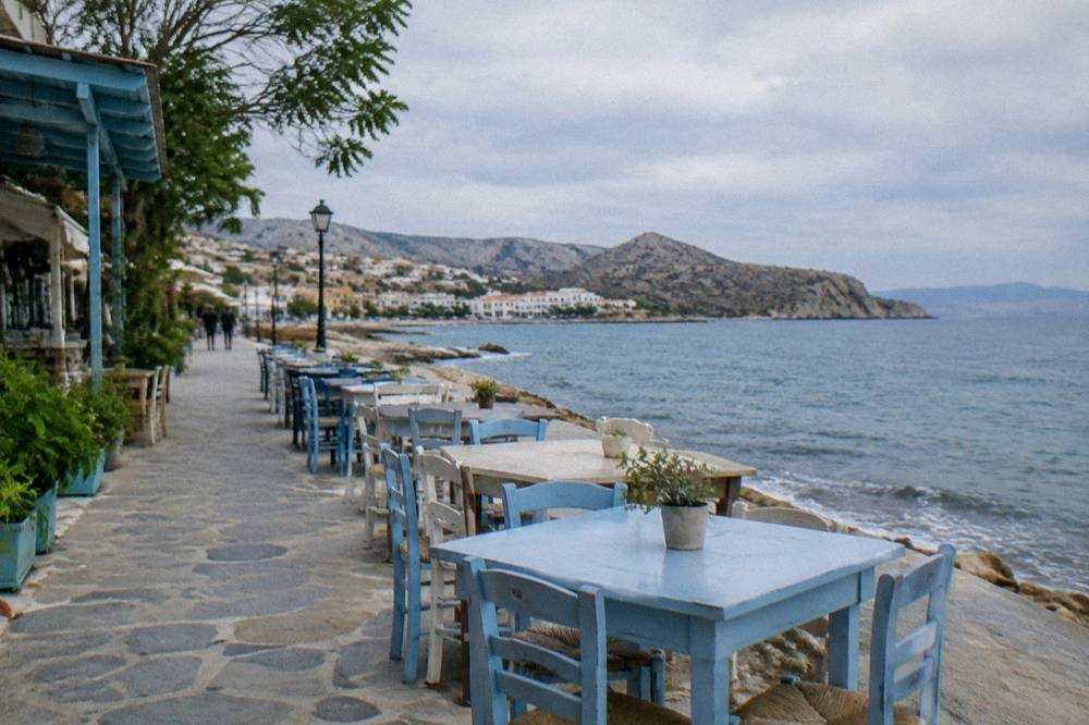
Gavdos is the headline boat trip from Paleochora. The island lies south of Crete in the Libyan Sea, boats run there from Paleochora and Sougia in season, and no timetable, fare or sailing frequency is printed here because none is verified. The practical instruction is simple: check the harbour operators on arrival or before travel. The same caution applies to every coastal boat plan in this region, including the excursion craft around Chania's own Venetian Harbour, which is a separate thing entirely from the port infrastructure at Souda. The wider set of guides lives on Chania Crete Travel Guide.
For travellers weighing one south-coast town against another, the Loutro and Sfakia guide covers the villages east of Sougia, reached by boat or by the mountain road, and the comparison is really between Paleochora's larger, flatter, beach-centred setting and the smaller boat-accessed coves further east. Both are day trips from Chania, both cross the same mountains, and neither can be reached by rail, because Crete has no railway.
| South Coast Place | What It Is | Reaching It From Chania |
|---|---|---|
| Paleochora | Peninsula town with beaches and the Gavdos boats | KTEL bus from the Kydonias street station |
| Sougia | Smaller coastal settlement east of Paleochora | Listed KTEL routes serve the south coast; check the operator's site |
| Agia Roumeli | Sea end of Samaria Gorge | Reached on foot through the gorge, then boat to Sougia or Chora Sfakion about 17:30 |
| Chora Sfakion | Ferry and bus hub of Sfakia | Listed south-coast connections; check locally |
| Gavdos | Island in the Libyan Sea | Seasonal boats from Paleochora and Sougia |
Can You Combine Paleochora With Elafonisi Or Other West-Crete Sights?
Elafonisi lies north-west of Paleochora on the same western corner of Crete, it is a Natura 2000 protected area with reported free entry where taking sand, shells or plants is prohibited, and combining the two in one day by public transport is not something the published timetables this guide carries can promise, so the honest combination is either a two-day plan or a guided day trip that names its stops. The small-group Elafonisi and Falassarna tour listed on this site pairs the two famous west-coast beaches with snacks and handles the driving, and its two-beach day trip page carries the price, rating and review figures from the operator's live listing.
The geography makes the pairing natural but not automatic. Elafonisi sits at Crete's south-western corner, Falassarna faces west a little further north, and Paleochora sits between them and the south coast road, so a car loop is the shape most itineraries take. In summer the KTEL network adds Elafonisi as a seasonal route, which the operator's own listing states, and that is the public-transport thread connecting the corner to Chania. This page prints no Elafonisi charge beyond what the sources give: entry is reported to be free, and taking the pink sand itself is prohibited.
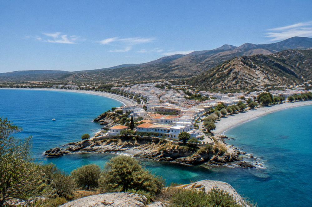
The deeper planning question is how many days the west of Crete deserves, and the site's west Crete one week itinerary answers it stop by stop, with Paleochora as a south-coast option alongside Balos, Falassarna and the gorges. Balos itself has its own access rules worth knowing in advance: the only confirmed charge is a EUR 1 Kissamos municipal fee collected on the boat ticket for over-13s, the boats leave from Kissamos port with daily departures to 31 October 2026 in the operator's published season, and a proposed time-slot visitor cap from August 2026 is a proposal, not a rule in force. The Balos Lagoon and Gramvousa guide unpacks all of it, including the unpaved road from Kaliviani to the parking area and the walk down.
| West Crete Day Trip | Kind Of Day | Access Notes From The Sources |
|---|---|---|
| Paleochora | South coast town and beaches | KTEL route; Gavdos boats in season, no timetable published |
| Elafonisi | Protected beach, Natura 2000 | Reported free entry; sand, shells and plants protected; seasonal KTEL route in summer |
| Falassarna | West-facing beach | Combined with Elafonisi by guided tours on this site |
| Balos and Gramvousa | Boat day from Kissamos | EUR 1 municipal fee on the boat ticket for over-13s; daily departures to 31 Oct 2026 |
| Samaria Gorge | One-way hike, Xyloskalo to Agia Roumeli | Normally 1 May to 31 Oct; EUR 10 ticket; check NECCA status before going |
Where Does Paleochora Fit In A Chania Holiday Plan?
Paleochora is a full day out of a Chania holiday, not a half-day add-on, because the crossing of the island's western third is part of the point, and the itineraries on this site slot it into stays of five days or a week, where the first days cover the Old Town, the harbour and the near beaches, and the later days fan out to the south coast and the western corner. The Chania in five days plan and the one-week west Crete plan both treat the south coast as the second half of a stay, once the city itself, the Venetian Harbour, the lighthouse and the museum days are done.
Chania's own core deserves its opening days and has its own pages: the Old Town area guide, the Venetian Harbour whose first works date from 1320 to 1356 with a wall recorded in 1515, and the lighthouse on its mole, built about 1595 to 1601 and restored on its Venetian base during the Egyptian years of 1830 to 1840, operating from 1839. The Archaeological Museum of Chania at 15 Skra street in Halepa charges EUR 15 full and EUR 8 concession, and its visit page is where the opening situation gets checked, since the sources this site carries state two conflicting versions of the hours.
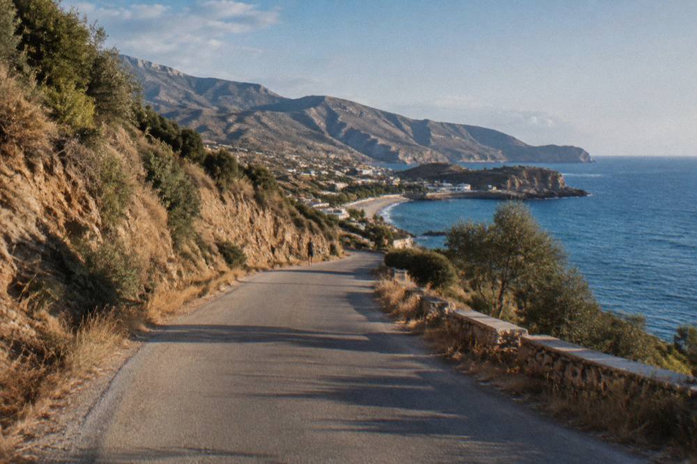
Two practical notes finish the planning picture. Accommodation in Greece collects the climate crisis resilience fee per room or apartment per night, with seasonal rates by category, and the amount is confirmed at booking rather than printed here. And border systems matter only to the extent of dates: Greece has been in the euro since 1 January 2001 and a Schengen state with internal checks abolished since 26 March 2000, the Entry Exit System has been fully deployed across Schengen since 10 April 2026, and ETIAS is not in operation, so no travel-authorisation application is being collected as of October 2026.
Is Paleochora Worth The Trip From Chania?
Paleochora rewards travellers who want the Libyan Sea shore, a working small town rather than a single spectacle, and a base or day target for the western south coast, and it asks a full day in exchange: the honest case for it is the crossing itself, the beaches, and the Gavdos boats. Elafonisi has the protected lagoon, Balos has the boat drama, Samaria has the gorge, and Paleochora has the ordinary, useful south coast, which is exactly why some plans prefer it.
The decision usually comes down to pace. A first visit to Chania with three or four days is better spent on the Old Town, one boat day, and one famous beach, and the Chania in three days plan lays that out. A week or more, or a second visit, is where Paleochora earns its bus ride, paired with Sougia or a Gavdos crossing if the boats are running, or folded into a west Crete loop with Elafonisi and Falassarna. Whatever the shape of the plan, the checks that matter are the same three: the KTEL operator's own site for the bus, the harbour operators for the boats, and the NECCA portal if a gorge enters the itinerary.
Common Questions About Paleochora
How do I get to Paleochora from Chania?
The KTEL Chanion long-distance station on Kydonias street lists Paleochora on its route network, and tickets and timetables are sold through the operator's own site. No fare or departure time is printed here, because the operator states both itself and adjusts them by season.
Can you take a boat from Paleochora to Gavdos?
Boats to Gavdos run from Paleochora and Sougia in season. No timetable or fare is carried in the published sources this guide uses, so the sailing days get confirmed with the harbour operators on arrival or before travel.
Is Paleochora warmer than Chania?
The only official climate normal this site carries is the HNMS Chania Souda station table for 1958 to 2010, which describes the station inland of Souda Bay. No official Paleochora normal exists in that record, so no honest comparison figure can be printed; both coasts share the dry summer and wet winter pattern.
Is Paleochora a good base for the south coast?
It is one of the two main gateways to the western south coast, the other being Sougia, and it works both as a day trip from Chania and as a base for boats and walking routes. The trade-off is the crossing time from the north coast, which makes it better suited to longer stays.
Can you combine Paleochora and Elafonisi in one day?
Elafonisi lies north-west of Paleochora in the same western corner, but no public-transport combination is promised by the timetables this guide carries. The realistic options are a hire-car loop, a two-day plan, or a guided two-beach day trip that names its stops.
When is the best time of year to visit Paleochora?
The HNMS Chania Souda table, 1958 to 2010, shows May through September dry, with July rainfall at 1.0 mm, and rain returning from October at 67.7 mm. The same seasonal logic governs the Gavdos boats and the gorge openings, so late spring through early autumn is the practical window, with the KTEL and harbour schedules checked for the specific dates.