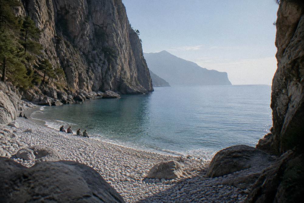
Imbros Gorge
Imbros Gorge is the shorter, lower-key gorge walk of the White Mountains behind Chania, and this guide sets out what the trail involves, how it compares with Samaria Gorge, and how a day trip from Chania is put together.
Short answer
Imbros Gorge is a one-way gorge walk in the White Mountains south of Chania, normally walked downhill from the Imbros village side toward the south coast road near Hora Sfakion. No fee figure or season dates are printed here because none is confirmed; guided day trips from Chania are listed at the end.
Imbros Gorge is the second gorge of the White Mountains that a visitor based in Chania, on the north-west coast of Crete, usually hears about, after Samaria. It runs south from the village of Imbros down toward the south coast road that leads to Hora Sfakion, and it shares the same mountain flank as its famous neighbour while asking far less of the walker. This guide lays out what the walk involves, what the sources say about access, how the two gorges compare, and how a day trip from Chania is assembled. No fee, no season dates and no trail measurements are stated for Imbros anywhere on this page, because none of those figures is confirmed; where a topic is open, the page says so plainly.
What Is Imbros Gorge And Why Does Chania Use It?
Imbros Gorge is a one-way gorge walk cut into the southern flank of the White Mountains, the Lefka Ori range that rises directly behind Chania, and it ends on the road system that serves the south coast and Hora Sfakion. It is the practical alternative to Samaria Gorge for walkers who want gorge scenery without committing to a full mountain crossing, and it is served by the same KTEL bus network that runs south from the Chania long-distance bus station on Kydonias street. The gorge sits inland of Sfakia, the rugged southern district whose coast faces the Libyan Sea, and its village namesake, Imbros, sits at the top of the descent.
The geology is the story. The White Mountains are a massive limestone block, and the gorges are the cuts where water has sawed through it over immense time. Imbros is narrower and lower than Samaria, which is a national park with a managed entrance, and that difference in status matters for planning. Samaria is run by NECCA, the Natural Environment and Climate Change Agency, with an entrance ticket and rules of its own; Imbros is a country walk through remarkable terrain, and the sources available to this desk state no fee and no season dates for it.
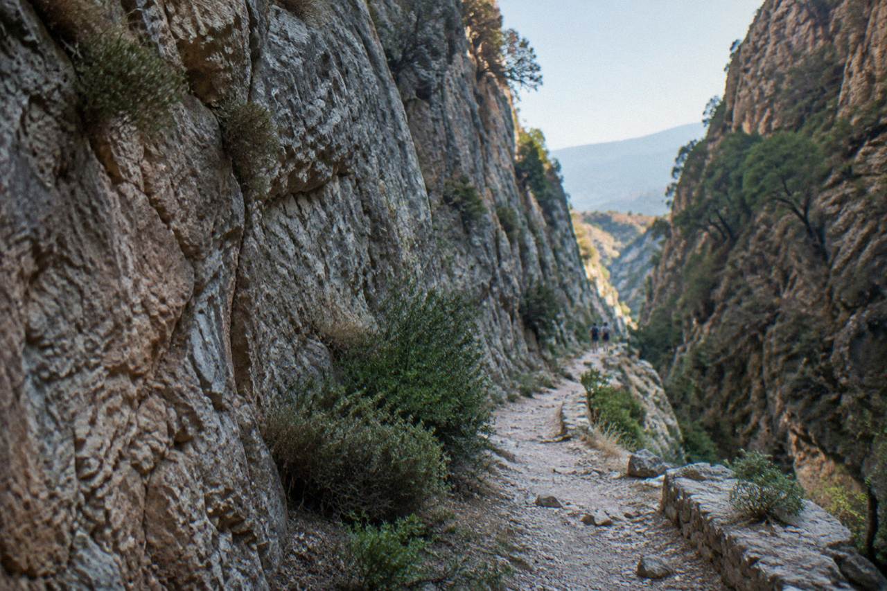
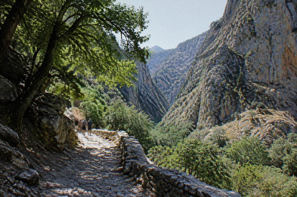
Historically the gorge had a working life: the path through it was the real route that connected the Sfakia side of the mountains to the north before the modern road existed, and mule trains and villagers used it for centuries. Villages at either end, Imbros at the top and Komitades near the bottom, still sit on that old axis. Walkers today follow a stone-and-dirt trail that descends the whole way, with a dry streambed underfoot for long stretches and rock walls closing in at the narrow points.
For a visitor based in Chania the appeal is straightforward. The Old Town around the Venetian Harbour is a morning of lanes and coffee, and Imbros is the half or full day that puts mountains around you instead. The gorge pairs naturally with the south coast: the trail ends within reach of the road to Hora Sfakion, from which the boat to Loutro runs, and the Loutro and Sfakia day trip is the natural second half of any gorge day.
How Difficult Is The Imbros Gorge Hike Really?
The honest answer is that Imbros is a moderate, continuously downhill walk on rocky ground rather than a climb, and its difficulty sits well below Samaria's, though the stone underfoot and the sun still demand real shoes, water and an early start. The trail descends from the Imbros village end toward the south, and a downhill-only profile is its own kind of tiredness: knees take the load, and the loose rock on the bed of the gorge asks for attention on every step. No walking time or distance for Imbros is printed here because no confirmed figure exists in the material this desk holds.
The surface is the main thing to respect. The bed of the gorge is stone, gravel and packed earth, dry for most of the year, and after rain it can carry running water and unstable rubble. The narrow sections, where the walls close in dramatically, are the sections photographs are made of and also the sections where footing is most broken. Walking poles help on the descent, and shoes with grip matter more than they would on a paved town walk. Anyone comfortable with a long country walk on stony ground can do this; anyone who struggles on uneven pavement should think twice.
Heat is the second factor. The HNMS Chania Souda station table, covering station records from 1958 to 2010, shows July averaging 26.7 C and August 26.3 C, with mean maxima of 30.7 C and 30.4 C respectively. The station sits at 148 m inland of Souda Bay and its figures describe the Chania plain, not the inside of a stone gorge, but they are the verified benchmark for the area, and a gorge in July concentrates heat. Rainfall tells the other half of the story: July averages just 1.0 mm and June 3.4 mm, while January carries 129.5 mm across 16.3 rain days. The dry summer months are the walking months precisely because the bed of the gorge is dry then.
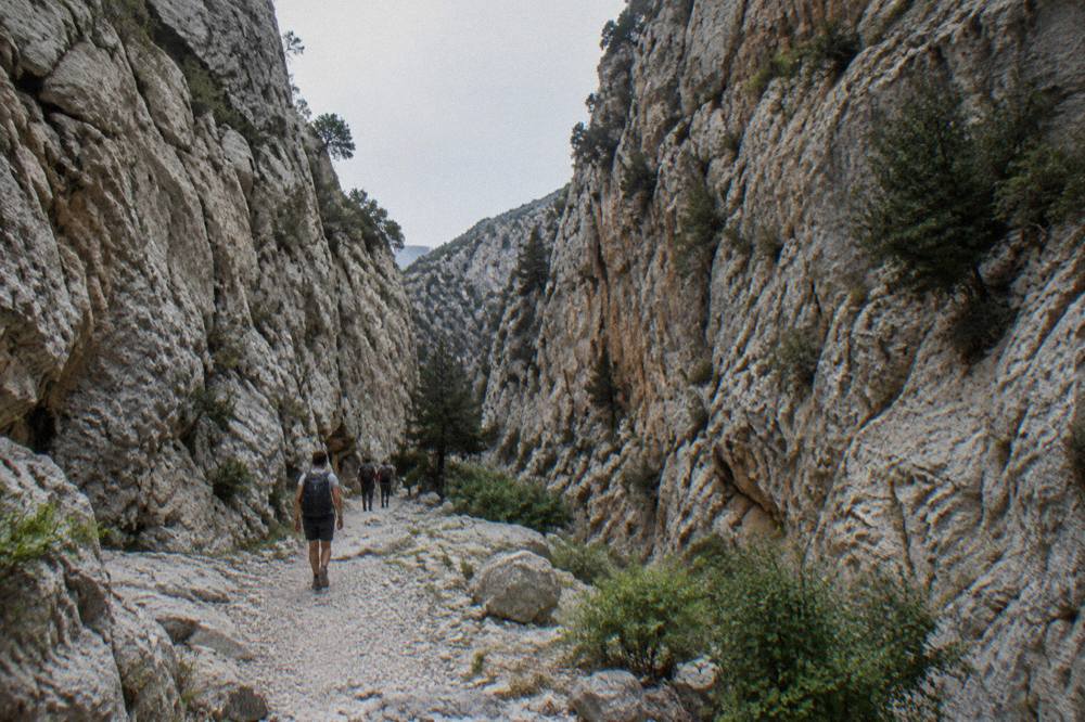
A guided day trip removes the logistics questions entirely, and the one this site features is the Imbros gorge guided hike with village visit from Chania, which adds the transport puzzle and the return leg into a single booking. There is also a version that combines the gorge with time on the Sfakia coast, covered further down this page.
How Does A Day Trip To Imbros Gorge From Chania Work?
A standard Imbros day from Chania runs south by road across the White Mountains to the trailhead near Imbros village, walks the gorge one way downhill, and returns by road from the bottom, with the whole circuit typically organised either through a guided excursion or by private car and the KTEL bus network. The Chania long-distance bus station on Kydonias street is the hub for the southbound routes, and the KTEL network serves Omalos, the Samaria trailhead plateau, among its destinations, which tells you the mountain roads are regular bus roads, not tracks. No timetable, frequency or fare for any Imbros-related service is printed here, because none is confirmed.
Two organised shapes dominate. The first is a guided hike with a village visit, which covers the walk, the transport and the guide in one price, and the second is the hike plus coast combination, which descends the gorge and then continues to the Sfakia coast for sea time before returning to Chania. Both are day trips, not city products: the mountain crossing each way takes real time, and the day is a full one. The site's guide to the best tours from Chania collects these alongside the other big day trips from the city.
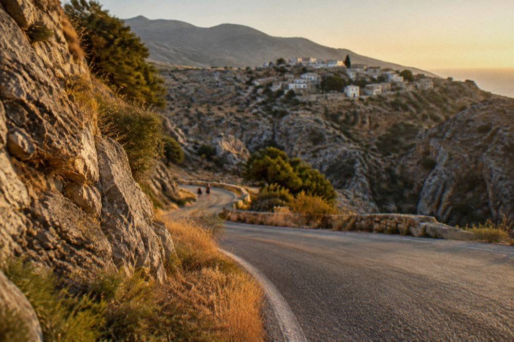
The self-drive version is real too. Hire cars based in Chania, covered in the driving context for the region, can reach the Imbros trailhead by road, and the attraction of driving is flexibility: the walker can stop at the Vrisses junction, at Komitades at the bottom, or push on to Hora Sfakion for the boat to Loutro.
Imbros Gorge Or Samaria Gorge: Which Should You Walk?
Imbros and Samaria are different commitments: Samaria is a national park with a EUR 10 individual ticket via the NECCA e-ticket portal, entry for the full walk between 07:00 and 13:00 and everyone out by 18:00, while Imbros is a shorter village gorge with no confirmed fee or dates, and the right choice depends on fitness, season and how much mountain you want in one day. The two walks share the same White Mountains and even the same south-coast exit region, but Samaria runs from the Omalos plateau at Xyloskalo all the way to Agia Roumeli, a roadless village reached by boat.
One point on Samaria must be stated plainly. Storms in late September and early October 2026 destroyed sections of its path, and staff responsible for the park have described a 2026 reopening as extremely difficult, with works aimed at readiness in May 2027 and no final decision on record. The normal season, 1 May to 31 October, is the published rule, but the gorge closes or delays when storms damage the path, and anyone planning it must check the official NECCA status first. This page states no reopening promise. The full picture is in the site's Samaria Gorge guide, and the closure question is answered separately in why the Samaria Gorge is closed.
| Point | Samaria Gorge | Imbros Gorge |
|---|---|---|
| Status | National park, managed by NECCA | Village gorge, no park status stated |
| Entrance ticket | EUR 10 individual, NECCA e-ticket portal | No confirmed figure printed |
| Reported entry rules | Full walk entry 07:00 to 13:00, all out by 18:00 | No confirmed rules printed |
| Route shape | One-way, Xyloskalo to Agia Roumeli | One-way, downhill toward the south coast road |
| Exit | Agia Roumeli, boats about 17:30 to Sougia or Chora Sfakion, then KTEL bus | Komitades area, road access to Hora Sfakion |
| Park rules | No swimming, no camping | None on record |
| 2026 status | Storm damage, reopening uncertain, check NECCA | No status statement held |
The fitness question is answered in more depth in whether the Samaria Gorge hike is difficult and in the head-to-head piece on Samaria or Imbros for hiking. The short version: a walker choosing between them in a storm-affected season should treat Imbros as the reliable option and Samaria as the aspiration booked only after checking the official status. Tour prices for Samaria trips exclude the separate entrance and ferry charges, and the same caution about separate costs belongs in any Imbros plan that involves buses, taxis or boats.
What Does The Sfakia Coast Add To An Imbros Day?
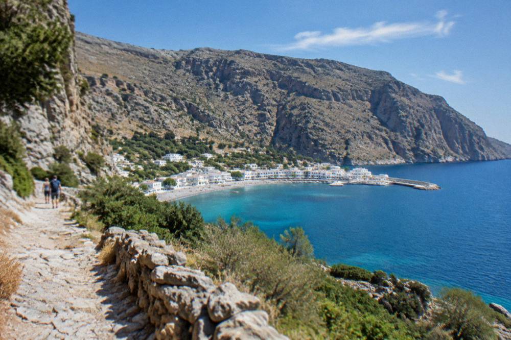
The Sfakia coast turns an Imbros gorge walk into a two-landscape day: after the stone and dust of the gorge, the road drops to Hora Sfakion on the Libyan Sea, where the boat to Loutro and the swimming coves give the afternoon a completely different register. Hora Sfakion is the terminus of the Samaria logistics too, one of the two ports the Agia Roumeli boats reach at about 17:30, which is why the whole south coast road from Vrisses down functions as one system during the walking season. Loutro, reachable only by boat or on foot, is the white village pinned between cliff and water that gives the district its postcard.
This combination, gorge in the morning and sea in the afternoon, is exactly what the coast-combination excursion sells, and it is the version of the day that suits a visitor who wants one big day out of Chania rather than a pure hiking day. The sea in the afternoon also solves the heat problem honestly: after a descent on stone, swimming is the correct final activity. No sea-temperature normal is printed anywhere on this site, because no official monthly series exists; a live reading is a live reading and nothing more. Everything else covered here is indexed on Chania Crete Travel Guide.
To walk the gorge and swim the same afternoon, book a gorge and Sfakia excursion here.
For planning the wider region, the site's pages on Loutro and Sfakia, on Paleochora further west, and on the itinerary for a week in western Crete place the south coast in context. Gavdos boats run from Paleochora and Sougia in season, though no timetable is printed here.
When Is The Best Time Of Year To Walk Imbros Gorge?
The verified climate record for the Chania area, the HNMS Chania Souda station table covering 1958 to 2010, points to May, June, September and early October as the sensible walking months, with 13.5 mm of rain in May, 3.4 mm in June and 15.4 mm in September against 129.5 mm in January and 101.9 mm in December. The table below is the station's own record, at 148 m inland of Souda Bay, and it is labelled with its period because that is the table the service publishes. It is not a newer normal, and this desk presents it as exactly what it is.
| Month | Mean C | Rain mm | Rain days |
|---|---|---|---|
| Jan | 11.0 | 129.5 | 16.3 |
| Feb | 11.0 | 104.0 | 14.5 |
| Mar | 12.7 | 76.0 | 11.5 |
| Apr | 15.9 | 31.5 | 7.7 |
| May | 20.2 | 13.5 | 4.2 |
| Jun | 24.7 | 3.4 | 1.2 |
| Jul | 26.7 | 1.0 | 0.4 |
| Aug | 26.3 | 1.4 | 0.6 |
| Sep | 23.2 | 15.4 | 3.2 |
| Oct | 19.4 | 67.7 | 9.3 |
| Nov | 15.8 | 77.0 | 11.2 |
| Dec | 12.7 | 101.9 | 16.1 |
Rain starts to matter from October, when the monthly figure jumps to 67.7 mm, and May to September is the dry window, with July the driest month in the table at 1.0 mm. In a gorge, that matters more than the raw comfort question: a dry bed is a walkable bed, and a wet one is not. The trade-off is that July and August, means of 26.7 C and 26.3 C with mean maxima above 30 C, are hot months for a stone corridor, and the same months are the busiest on every beach and boat in the region, from Balos to Elafonisi. An early start, before the sun is high, is the standard answer in summer.
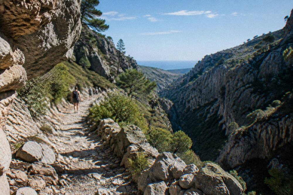
Spring adds a reason of its own. April sits at 15.9 C mean with 31.5 mm of rain over 7.7 rain days, a mixed month, but the weeks either side of it bring the green season to the White Mountains, and the gorge flora is part of why walkers choose it. Autumn, September at 23.2 C and 15.4 mm, is the quiet equivalent after the summer heat. No Imbros season dates are printed here because none are confirmed; the mountain weather, not a calendar, closes gorge walks.
What Should You Pack For The Imbros Gorge Walk?
The packing list for Imbros is a stony-trail list, not a beach list: gripped shoes, more water than feels reasonable, sun protection for an exposed stone corridor, layers for the mountain road crossings, and cash for village stops, with poles a genuine help on the long descent. The gorge bed gives no shade worth the name in the middle hours, the villages at either end are small, and the day involves road travel across a mountain range before and after the walk itself.
| Item | Why It Matters On This Walk |
|---|---|
| Gripped walking shoes | The bed is stone, gravel and packed earth, dry and loose in places |
| Water, more than one bottle | The narrow sections hold heat, and no figure for refill points is on record |
| Sun hat and sunscreen | The stone corridor reflects sun, especially in the 11.0 to 26.7 C months either side of summer |
| Poles | The profile is downhill throughout, and poles unload the knees |
| Layer for the crossing | The mountain road to the trailhead runs high and can be cool even in warm months |
| Cash in euro | Small villages, small tavernas, Greece has used the euro since 1 January 2001 |
| Sturdy day pack | Hands free on broken ground, with the layer stowed after the descent |
Two cautions finish the list. First, no swim gear is needed in the gorge itself: Samaria's no-swimming rule is a stated park rule, and while no comparable rule is on record for Imbros, the gorge is not a swimming venue in any case, and the sea belongs to the Sfakia coast half of the day. Second, check the weather before committing: the HNMS table above shows how sharply rain rises in October and November, and a gorge after rain is a different walk.
How Does Imbros Fit Into A Longer Stay In Chania?
Imbros slots most naturally into a Chania stay of three days or more, on the day reserved for the mountains, with the Old Town and the Venetian Harbour taking a quieter day and the beach and boat trips filling the rest, because a gorge day is a full day and pairs badly with a second big excursion on the same date. The site's three days in Chania and five days in Chania itineraries are built on exactly this rhythm, and a week-long plan, laid out in the western Crete week, can hold Imbros, Samaria, a south-coast day and the beach lagoon trips side by side.
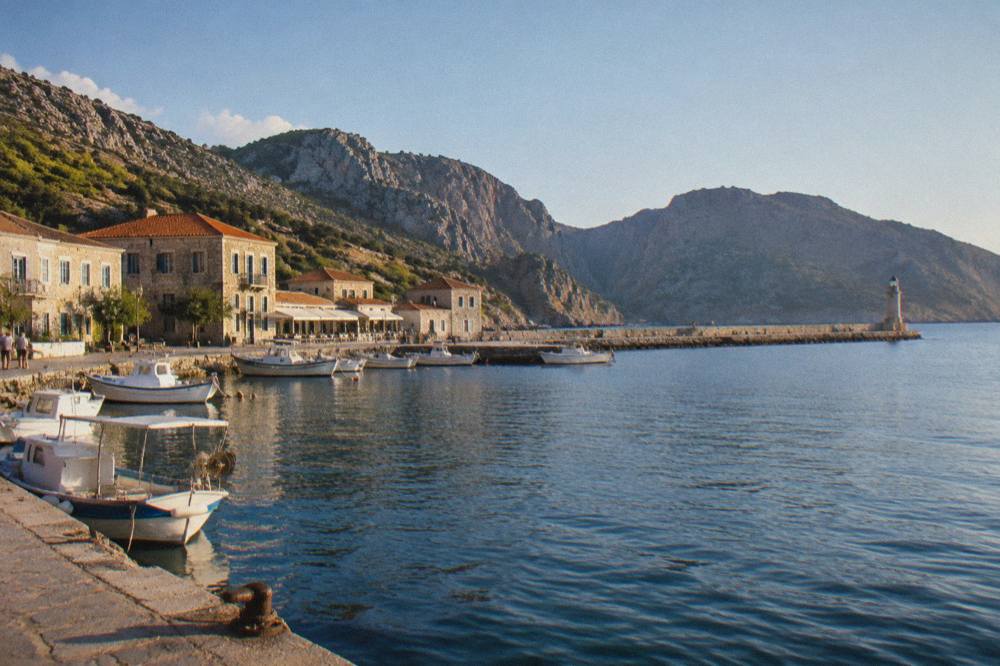
The order matters less than the spacing. The big day trips from Chania, Imbros, Samaria, Balos and Elafonisi, each take a full day, and stacking two gorge days back to back is a mistake the knees will report. A common shape is a city day, a beach day, the gorge day, then a recovery day built around the Venetian Harbour and the lighthouse, which the harbour's own history, first built 1320 to 1356 with the lighthouse raised about 1595 to 1601 and restored in the Egyptian era of 1830 to 1840, makes a slow walk worth taking.
For visitors weighing the whole island, the comparisons the site already holds, Chania versus Heraklion and Chania versus Rethymno, both land in Chania's favour for gorge access: the White Mountains and their walks sit behind this city, and Heraklion and Knossos is a different kind of day entirely.
Common Questions About Imbros Gorge
Is Imbros Gorge easier than Samaria Gorge?
Yes, in the sense that Imbros is a shorter, continuously downhill village gorge walk, while Samaria is a full national-park crossing from the Omalos plateau at Xyloskalo to roadless Agia Roumeli, with a EUR 10 ticket via the NECCA portal, entry for the full walk between 07:00 and 13:00 and everyone out by 18:00. The detailed comparison is in the site's piece on Samaria or Imbros for hiking.
Is there an entrance fee for Imbros Gorge?
No fee figure is printed on this site because none is confirmed. Samaria, by contrast, has a stated EUR 10 individual ticket through the NECCA e-ticket portal, free for EU residents under 18 and over 65. For Imbros, confirm locally or through the operator's live listing before the day.
When is Imbros Gorge open?
No season dates are stated for Imbros on this page. The verified climate record, the HNMS Chania Souda station table for 1958 to 2010, shows the dry walking window running from May at 13.5 mm of rain through September at 15.4 mm, with rain rising steeply from October at 67.7 mm.
Can you walk Imbros Gorge without a guide?
Yes, the gorge is a country walk rather than a ticketed park, and walkers reach the trailhead by road from the Chania side, with the KTEL network serving the mountain routes from the station on Kydonias street. A guided excursion handles the one-way logistics and the return leg, which is the part independent walkers have to solve.
What do you wear to walk Imbros Gorge?
Gripped shoes for stone, gravel and packed earth, a sun hat and sunscreen for the exposed corridor, a layer for the mountain road crossing, and more water than feels reasonable. Poles help on a descent that never reverses.
Can you combine Imbros Gorge with the beach?
Yes, the gorge ends within reach of the road to Hora Sfakion on the south coast, and a combined excursion descends the gorge and then continues to the Sfakia coast for sea time, with the boat to Loutro as the classic afternoon addition.
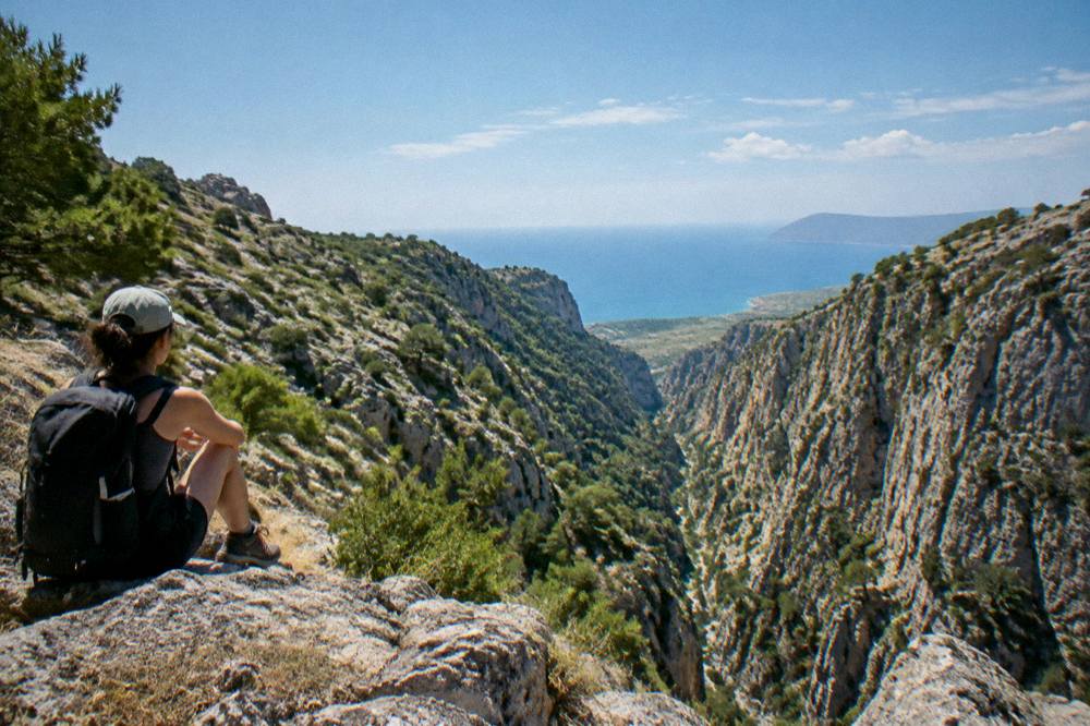
The last word belongs to sequencing. Imbros is the gorge that forgives: it asks for good shoes, an early start and water, and it repays the day with walls, light and a road that ends at the sea. Walk it when the mountain is dry, check the status of its bigger neighbour before any Samaria plan, and let the south coast finish the afternoon, which is the order this desk would put on any Chania itinerary that has room for one mountain day.